The next Walk will be on the
5th May 2025,
This Walk will be Clockwise
Some churches do have card readers for payments,
but do take cash as well.
Click desired page menu headings below:-

Route: Molash to/from Chilham (4 ¾ miles)
This is the longest and possibly most challenging part of the whole circuit due to varied terrain and frequent changes between fields, paths, tracks & lanes. All the most wobbly stiles have now been replaced by wicket gates, obviating the need for the previous alternative road route
N.B. These notes just give an outline of the route for which the way is specially marked out by large dayglow red arrows whose direction varies between clockwise & anticlockwise as shown in each year’s publicity. The following two descriptions starting from opposite ends finish at a single defined point, continuing from which it should not be difficult to read sentences in reverse order
(Start here to follow ‘Anti-Clockwise’ arrows). Chilham church to the lane near Shottenden.
A footpath down from Chilham churchyard briefly joins a lane before cutting through trees to the busy A252 road. Crossing this carefully to a path soon entering a large orchard, it turns left along a row of poplars to a concreted fruit farmyard, and exiting by the smaller of the main gates of the house. Care is needed crossing the minor road to enter the large orchard opposite, continuing along the wide grassy strip before turning uphill at the end. Neither the orchard nor the field entered through a gap in the wire at the top are public rights of way but the owners kindly allow us access. Follow along the top of the field & descend the far side to avoid newly sown crops until red arrows lead to a gap in the wire to turn 180 degrees up a muddy track. This becomes a bluebell bordered flint track, later turning into a clay track deeply rutted by wheeled vehicles, and eventually becomes a tarmac lane past Matthew Farm near Shottenden (not on the route) before crossing to a footpath.

(Start here to follow ‘Clockwise’ arrows). Molash church to the lane near Shottenden.

Behind Molash church, after a paddock (with two stiles) the route crosses an expanse of arable farmland high above which skylarks may be heard. Cross a minor road, climb a stile & keep left along a hedge before cutting diagonally up sloping pasture, levelling out to cross a farm drive, & continuing to reach some trees. Turning right along a paddock, to a succession of wicket gates & stile near a very old house, passing through an old orchard, a copse & a sown field. Turning left in an old orchard, the route joins Wytherling Court Lane before continuing straight ahead on a track. This later gradually becomes a very narrow path along field edges till it meets a tarmac lane within sight of Shottenden before turning off right for Chilham.
"Clockwise" Gallery of photos taken during the 2017 Walk.
Hover over an image for its title. Click image to enlarge, also click right or left to view the other photos.
At last the sun started breaking through, but I was later than the 6.00 pm close of the Walk


"Anti-clockwise" Gallery of photos taken during the 2016 Walk.
Hover over image for description. Click image to enlarge, also to view subsequent or prior photos.
The morning had some drizzle but most of the day was merely damp with cooling breezes, ideal walking conditions apart from some mud & puddles necessitating proper walking footgear. The refreshments on sale at each church were welcomed and everybody seemed to enjoy the walk.

Footpath from Church Hill, Chilham to very busy A252 road. (Cross it with care!)

Edge of grubbed up orchard beyond A252.

Sole Street farmyard. Cross road beyond gate into large orchard. (Permission given for Walk to cross it & field beyond.

Large orchard. Red arrows at end direct uphill to gap in hedge at top.

Field recently planted with broad beans. Route takes least damaging way to the corner of wood below.

Ascent by edge of wood to gap in wire onto lane

Five Church Walkers rest at gap in wire onto lane.

Track to Shottenden with old fallen tree & bluebells.

Ascending flinty track in bluebell wood.

Track at summit becomes triple rutted and slippery in wet weather.

Track becomes a lane on outskirts of Shottenden.

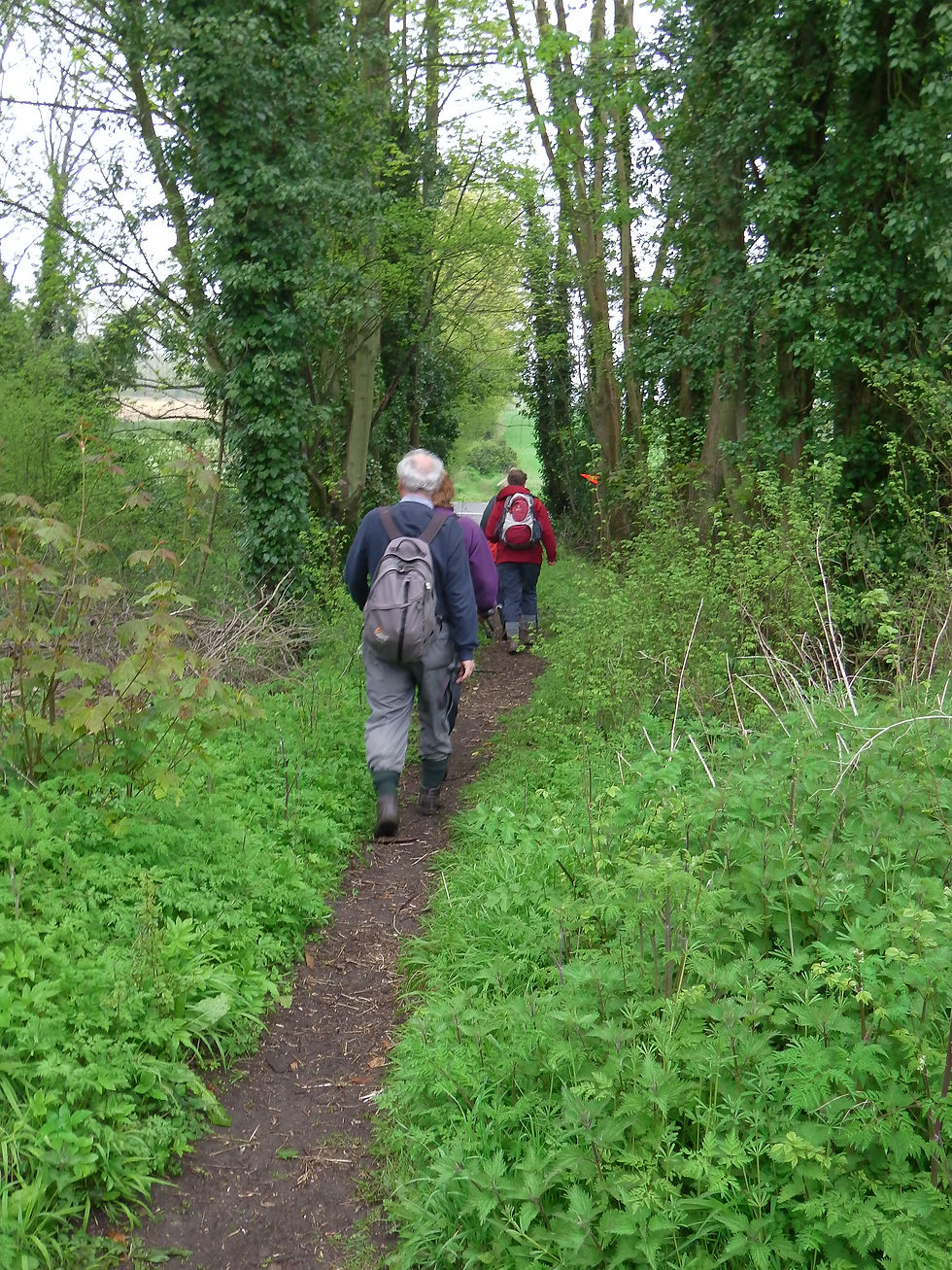
At lane junction, route follows narrow footpath along edge of fields.

Footpath bears left past tree to later become a farm track.

Farm track just before sign for optional "dog route" by road (avoiding stiles).

Walkers taking optional "dog route" by white arrow instead of red ahead past Wytherling Court Farm.

Footpath crosses planted field into small copse, then through an aged orchard.

Very old house viewed from gate into pasture land..

Horse & pony in paddock alongside path.

First of two large grass fields (without livestock this time)

Path crosses house drive onto second large grass field descending to road (where "dog route" rejoins)

After road route crosses several sown fields towards distant Molash. Skylarks always singing!

Paddock before reaching Molash Church.

St Peter's Church, Molash from car parking area

Church helpers (on right) serving refreshments to damp & hungry walkers.

Interior of Molash church with walkers relaxing over refrreshments
